Preserved lighthouse locations

Explore the towers along the northern coast

A curated coastal locator of preserved beacons, with concise notes to guide your next heritage stop.

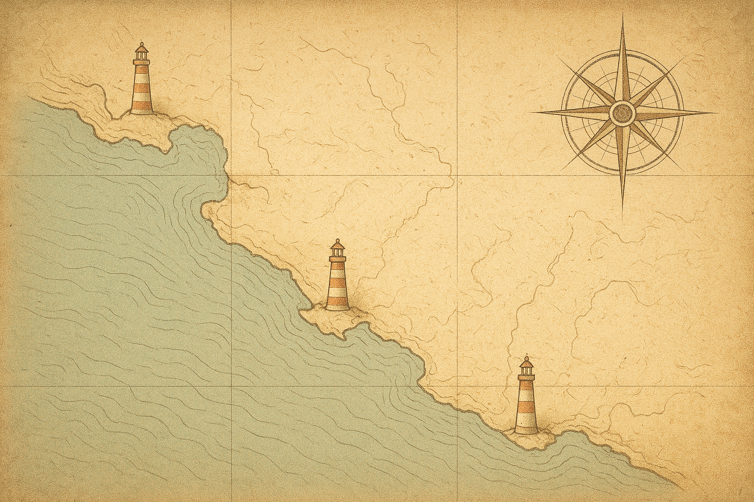
Illustrated northern coastline locator map with muted parchment water tones and shoreline contours
Cape Alder Light
Greyhaven Beacon
Bracken Point
Northwatch Tower
Windward Head Light

Markers indicate preserved towers with standing structures and publicly accessible exterior viewpoints.

Visit notes

Practical questions, answered gently

These notes are meant to support your map reading without interrupting it—quick guidance on access, care, and what “preserved” means in this archive.

How does this archive define a “preserved tower”?
In this project, “preserved” means the lighthouse structure still stands and is formally protected, maintained, or actively interpreted by a public, heritage, or community body.
Can visitors enter every preserved lighthouse?
Not always. Many towers can be viewed from surrounding grounds, while interior access may be seasonal, limited to guided days, or closed for conservation work.
What access conditions should I expect around the sites?
Paths vary widely—some are paved and signed, others are uneven coastal routes with stairs, mud, or exposed edges. Check local guidance before setting out.
Is photography welcome at preserved lighthouse locations?
Usually yes for personal use, with care. Please stay on marked routes, avoid climbing barriers, and be mindful of residents, volunteers, and wildlife-sensitive zones.
How much does weather affect a lighthouse visit?
Coastal weather can change quickly—wind, rain, and sea mist are common even on bright days. Layered clothing and sturdy footwear make visits more comfortable and safe.

When you’re ready, return to the map to explore the towers, or continue with the human side of the coast in keeper stories.